A point.
A place.
Your phone.
Record where the work happened. Fieldeng captures your phone’s coordinates and reported accuracy, then lets you name a new site or pin an existing one.
Try GPS in the Android testAndroid closed test available now.
No account required in the app.
Keep the place.
With the work.
An equipment visit, a street-side check, a spot to inspect again. Give the location a useful name and keep readings against that site.
Point captures latitude and longitude, reported horizontal accuracy, and altitude when the phone supplies it. Review before saving.
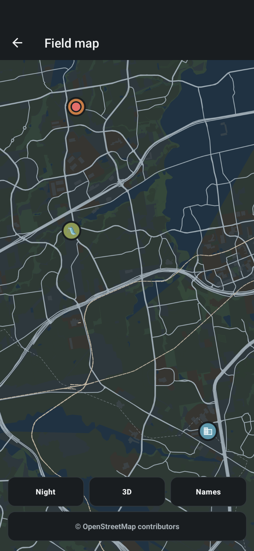
See how to capture a point →Existing Fieldeng app screenshot showing the field map in its night style. Example pins illustrate the interface.
Get a fix.
Give it a name.
Keep it.
- Open Point. Choose Field → Phone → Point. Allow location access when prompted.
- Review the fix. Check latitude, longitude, and reported accuracy. Tap Refresh fix to request another reading.
- Choose the site. Enter a name and choose New site here, or review at the selected existing site.
- Review and save. Confirm the captured values before saving the location and its readings.
A place you can recognize later.
Use a name such as “North entrance” rather than relying on coordinates alone. Add the readings and notes that explain why this spot matters.
More than
a pair of numbers.
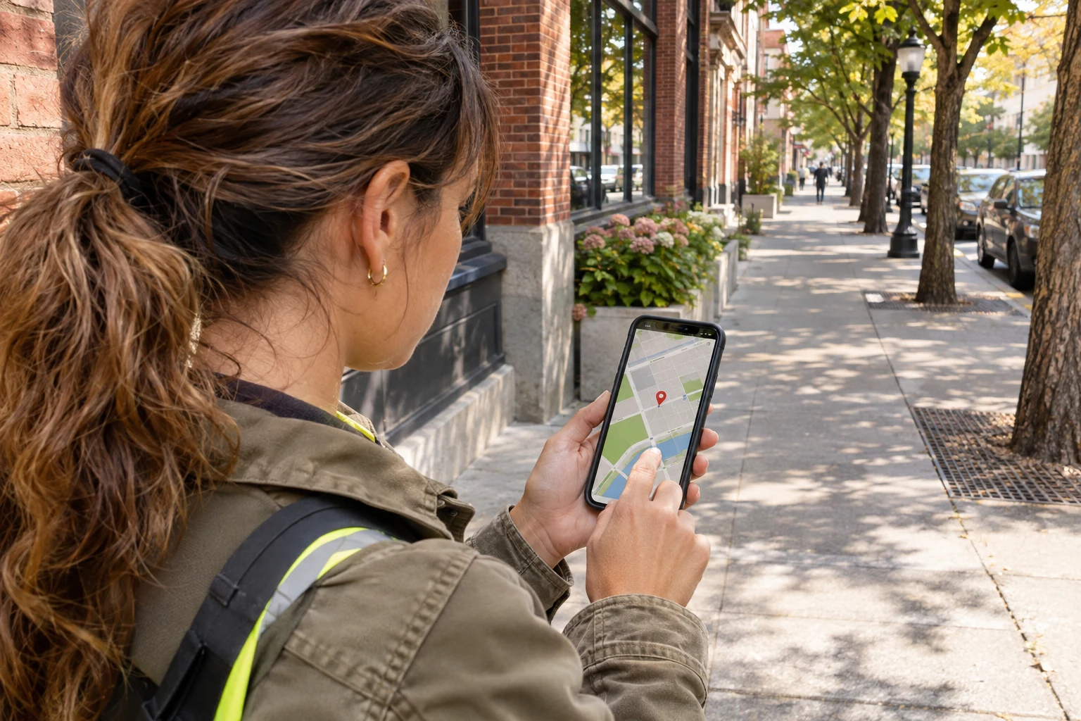
Keep the context that helps you judge a phone location.
- Coordinates
- Latitude and longitude locate the point. Save them to a new site or use the fix to pin an existing site.
- Reported accuracy
- Read the phone’s horizontal accuracy estimate before accepting the fix. Fieldeng warns when a fix is coarse; continuing does not improve it.
- Phone altitude
- Included when available. This is ellipsoid height, not a surveyed elevation or a guaranteed height above sea level.
- Map context
- View pinned sites on the field map alongside the surrounding streets and features. Map imagery and a GPS measurement answer different questions.
In the city?
Check the fix.
Buildings can block or reflect satellite signals. A plausible-looking map position still needs a review of reported accuracy.
- Where practical, move to a more open view of the sky and refresh the fix. Do not assume more decimal places mean better accuracy.
- If there is no fix, Point cannot create a GPS reading. Check location permission or try again in a better location.
- Phone GPS is not a survey instrument. Use appropriate equipment for boundaries, survey control, or work with specified position tolerances.
- Saved records and map availability are different. Do not assume basemap coverage will be available offline.
Before you try it.
Can I save a GPS point to an existing site?
Yes. With a site selected, Point offers review at that site. You can also name and create a new site at the current fix.
Does a map pin guarantee an exact location?
No. Review the reported accuracy and surrounding conditions. Phone location and map data can both contain errors.
Is the altitude height above sea level?
Point labels it as phone altitude. It is ellipsoid height and should not be treated as a surveyed elevation above sea level.
Do I need an account?
No account is required in the app. Enrollment and installation through the Android closed test require internet access and a Google account.
How do I try it?
Follow the Android closed-test instructions to join and install Fieldeng. Public launch is coming to Google Play.

Keep your
place.
Start with a point.
Build the record around it.
Android closed test · Public launch coming to Google Play